NOTE: This walk did not go ahead because a property owner refused access. Instead, we went to Old Bills Monument on Ben Lomond.
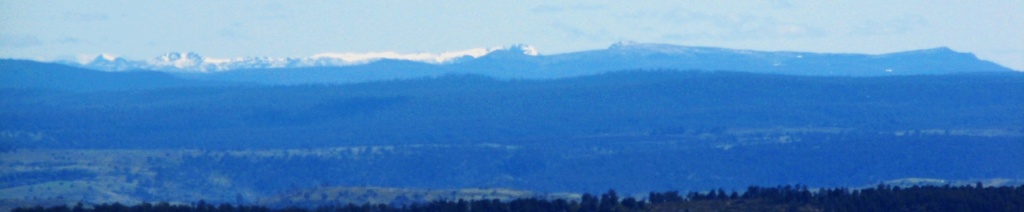
Ten years since Boots N' All last visited Table Mountain, so here's your opportunity to climb this highly visible but perhaps less visited feature, which catches the eye for quite a distance along the Midland Highway, due to its apparently long, flat-topped profile. Our approach takes us in from the west, passing through the Tiger Rise Conservation area (no thylacines last time we went there, unless they were keeping well out of sight!), mostly along old logging roads, with a fairly steep pinch to finish off with, and expansive views to the southeast, south and west. Reasonably fit but less experienced walkers, including energetic and resilient children, should be able to manage this walk.
Walk route:
The walk begins on the southern boundary of the Tiger Rise Conservation Area (altitude 700m), heading northeast and climbing gently for about 1.5 km, east for a further 1.5 km then northeast for another km before sidling north and then east, climbing steeply to reach the summit plateau at alt. 1095 metres, with the opportunity to scramble out to some rocks on the edge of the escarpment to extend the view or the experience! Return to the cars by the same route. Walk distance is just over 5 each way.
Meeting Times and Places:
If you are interested in going on this walk, please phone Basil Tkaczuk on 03 6331 1155 to book in. The departure time is 8:00 am from Door of Hope carpark in South Launceston. Walkers from the south should follow the drive directions below to meet at the starting point. Meeting points along the way could be Campbell Town at 8:45 am or Tunbridge Tier Rd. turnoff from Midland Highway at 9 am. Please let the leader know if meeting at one of these places, or if you wish to arrange any other meeting place. Even if intending to make your own way there, you still need to contact the walk leader per details above if intending to walk. The leader should be notified of any other people you intend to bring along. Please be at any meeting place 5 minutes ahead of departure time.
To access this area from northern Tasmania:
From Launceston, proceed south along Midland Highway via Southern Outlet for 95 km to reach Tunbridge. Go 200 metres past the Closed Bridge sign, and turn right into Tunbridge Tier Rd. (C526). Continue west for 28.5 km, rising to the top of the tiers and passing between Lakes Crescent and Sorell, to reach the junction of Dennistoun Rd, (C528) on the left under a km after leaving the lakes. Continue south for 14.5 km to reach a gate on the left. Drive through the gate if not locked, making sure to shut the gate after you! Follow the track 400 m east, to a gate where we will park to start the walk.
If coming from Hobart: Follow the Midland Highway 56 km to Melton Mowbray. Turn left into Highland Lakes Rd (A5) and continue 20 km to reach Bothwell. Turn right into Dennistoun Rd. (C528) and continue 18.4 km north. The gate mentioned above will be on your left. Drive through the gate if not locked, making sure to shut the gate after you! Follow the track 400 m east, to a gate where we will park to start the walk.
Warnings:
The following codes [from our 2022 walks calendar] apply:
D Drive distance requires early departure – usually 7:30 am
M (depending on off-track sections) Marshy or muddy sections be prepared to walk with wet feet.
E…Exposed alpine conditions – can be dangerous in poor weather if not fully equipped.
This walk is above 1100 metres altitude for the whole distance and can be very exposed if the weather is bad, even at this time of year. Be prepared! Walkers should wear sturdy boots due to uneven surfaces. Gaiters recommended due to off-track walking. You should always carry wet weather gear as well as warm clothing in case of sudden weather changes. For equipment guidelines, CLICK HERE.
Map details:
Table Mountain (alt. 1095 m): 1:100000 map is Tasmap 8313 (Lake Sorell) and 1:25000 map is 5032 (Table)
Map reference:
Short ref. 113238
Zone Easting Northing Latitude Longitude
55G 5 11 490 53 24 020 -42.23592 147.13925
For the peakbaggers, Table Mountain is worth 1 point. For listing of peakbagger points, see the Hobart Walking Club Peakbagger’s Guide (2000 revision) which can be downloaded (Excel) from http://tastracks.webs.com/peakbaggers.htm The same web page contains several other listings of Tasmanian peaks.
For GPX (.gpx) and Google Earth (.kml) versions of the track: Click here to download.
XXXXXXXXXXX revise Direct links: GPX for this walk … KML for this walk
Right-click on the file and save target as to a location of your choice. (Suggest you click the Last modified at top to sort by date to get the most recent at top to find the file for the next walk).